
Baltimore can be a wonderfully strange place – who would have thought our city would be graced by a historic Peruvian tall ship on its diplomatic mission across the globe? And who would have thought that our standing in line in the cold for over 2 hours to tour this ship, inspired by the massive Peruvian flag dangling from its bow, would lead us to ask the question – “What if we went to Peru?” After ensuring my customary conditions – the absence of a separate visa, and general affordability of a flight ticket – were met, planning this trip became important, intuitive, and, in my mind, a necessity. Here are some of the highlights.
Getting there:
There’s a wealth of connections from the US to Lima, the capital city of Peru. The cheapest alternative during Thanksgiving 2025 was Copa Airlines, with a severely tight connection of just 43 minutes! After navigating some initial delays with boarding at IAD, our coordinated strides in Panama’s surprisingly large airport got us to our connecting gate with some time to spare.
Despite landing in Lima well past midnight, immigration seemed to be busier than ever. My travel partner had made a friend, a Peruvian national, on the plane, and, despite citizens having their own, dedicated, automatic immigration process, he chose to stick with us for over an hour just to keep the conversation going! This however, was not the most interesting part of the night as border control mistook my friend for someone on the Interpol watchlist; their interrogation, which culminated in their realization that he’s a harmless college senior and massive physics nerd, set us back an hour.
It was 3am by the time we reached our hotel in the historical district of Lima; a rightfully sleepy hostess checked us in to our small, transit room; when we asked her if there was anywhere to eat at that hour, she graciously offered us her sandwich, which we had to politely reject!
Lima:
One can conquer most of the city of Lima as 2 different geographic sections – the historical district in the north (centered around the Plaza de Armas), and the more beach-y, touristy neighborhoods in the south (around Miraflores).
The Plaza de Armas is a blend of Peru’s Spanish imperial era and post-revolution self-governance era. This main square is surrounded by buildings from different centuries – some with preserved balconies, and almost Arabic-like lattice work. Built in the 16th century by the Spanish as a governance tool to exert pressure on its colonies, it eventually became the site at which Jose San Martin proclaimed the independence of Peru in 1821!
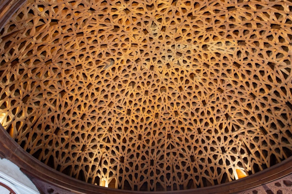
With the Spanish conquistadors came the Church – specifically, members of the Franciscan Order of priests. Their impact in the area is represented by the towering San Franciscan Basilica, just off the Plaza. The church has a large courtyard and intimate murals in ceremonial rooms, but two things stood out to me; first, a large, wooden dome with unsymmetrical, cris-crossed wooden beams that had almost an Islamic look; and, second, and what was the main attraction, a large section of preserved, underground catacombs that were used to bury priests (and anyone who donated enough!)
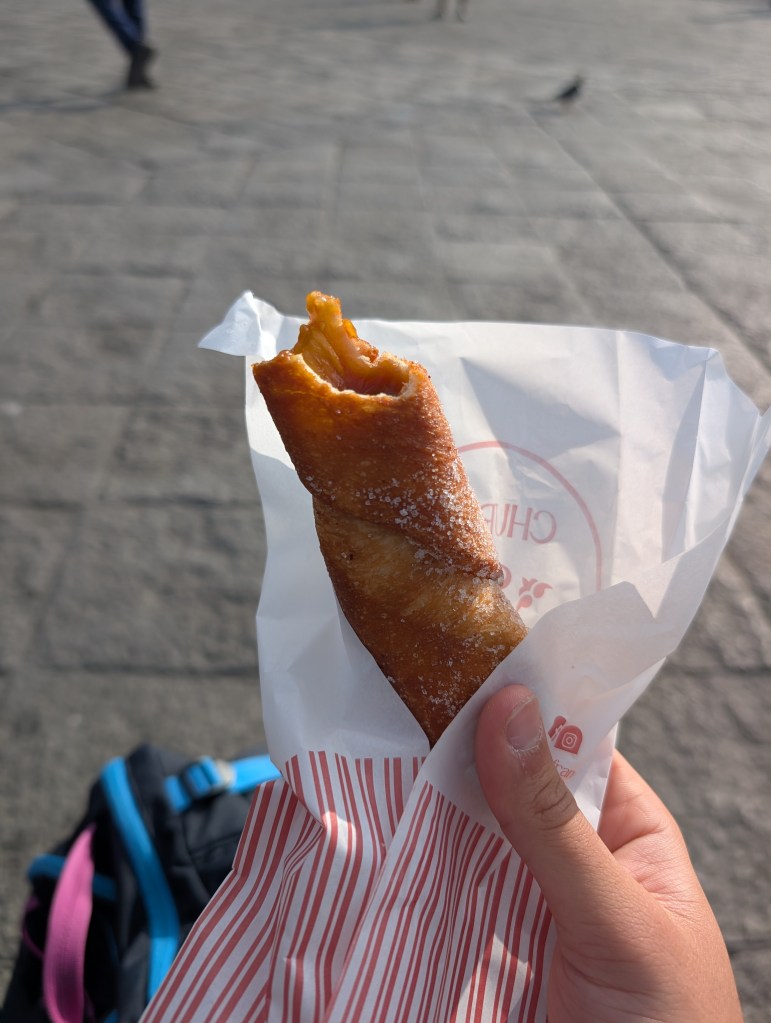
Following this namesake was my personal highlight of Lima – San Francisco Churros; these decadent heart-stoppers are not only fried to perfection, but are also filled with my favorite South American find: dulce de leche (caramel). While I savored every bite, given that these seemed served in American-sizes, I found it pretty challenging to finish!
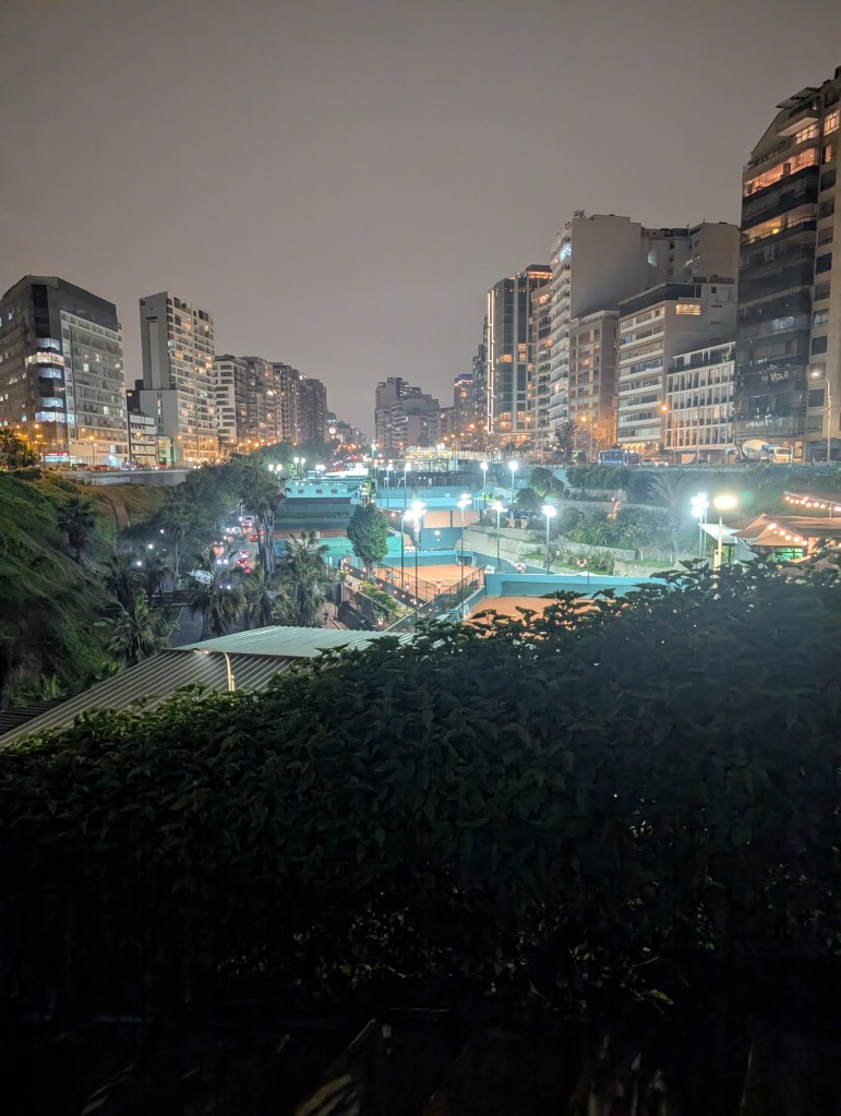
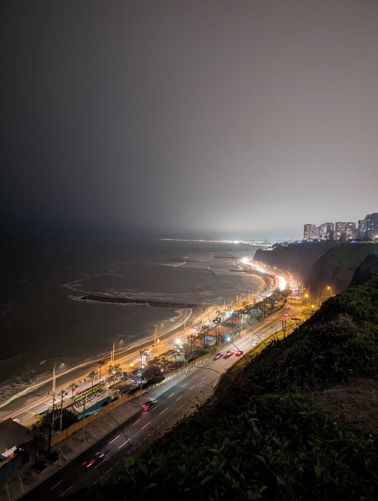
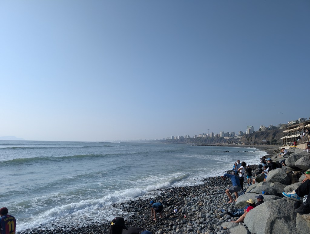
Miraflores served up a different side of Lima; it seemed to be tucked away from the bustling city-life we had seen in the historical district, and presented a quieter, almost aristocratic side. Sprawling, ocean-facing apartment buildings are built on high bluffs; streets run at surface level as well as connect down to the main thoroughfare along the coast. Intersecting these multi-level streets are, quite fascinatingly, recreation sites! Tennis courts and gyms fill what would have been dead space (or more asphalt). Truly a wonderful sight to see for my inner urban planner (now used to the cut-and-paste model of block-oriented American cities). The parks on the high bluffs provide the best view of the western Pacific coast. At night, cars in motion on the highway below complement the abject blackness of the seemingly still ocean, with rustling palm trees and small streetlights in the distance adding whole new sensory elements to my picture. The beach itself, a fairly long walk down a steep mountain (aided by intense stairs) is also the perfect place for families to spend the day (or to kill time before your next flight). The adjoining bohemian neighborhood of Barranco is fun to walk through during the day; if you plan your route in advance, you could end up viewing spectacular murals!
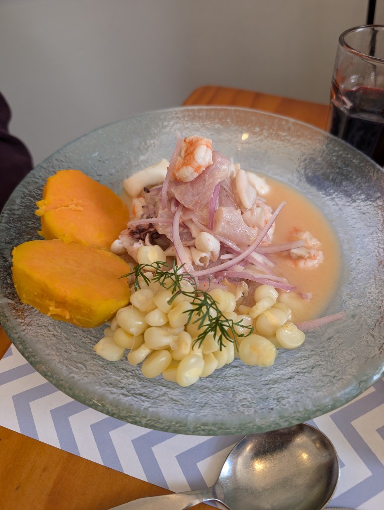
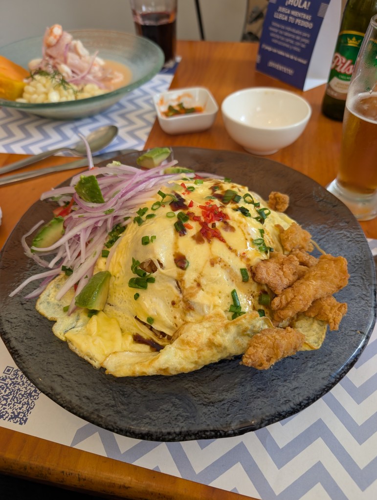
Lima is known best for its food! While seafood is all the rave (as evident by my travel partner’s indulgence in ceviche at every stop), I found unexpected comfort in chifan, Peruvian-Chinese fusion food! With the advent of indentured servitude in the 19th century, droves of Cantonese were brought to the country to work on sugar plantations and build the railway. They eventually settled in Lima, establishing Barrio Chino, or, Chinatown (wherever I go, there will be a Chinatown!) It should be unsurprising that I indulged in a lot of fried rice while in the capital!
Cusco:
Cusco, the old Incan capital, serves as the major gateway to the country’s archaeological and natural wonders.
It was built as the seat of the mighty Incan empire, but then razed to the ground by the Spanish in their 16th century conquests. Using much of the Incan architecture as a base for their buildings (since it was mathematically crafted to be earthquake resistant), the current town of Cusco looks very much European – towering churches, narrow, winding cobblestone streets, and complete with its own Plaza de Mayor.
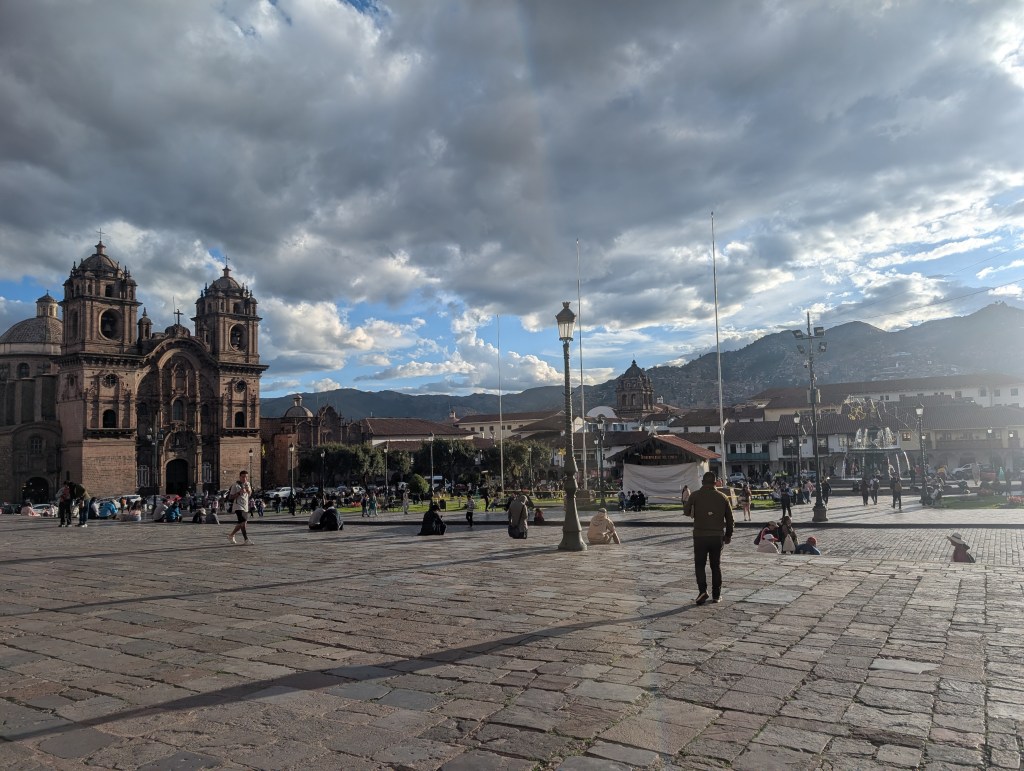
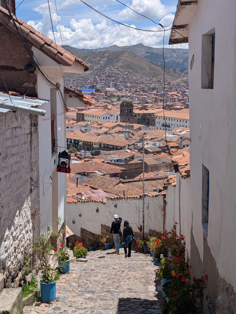
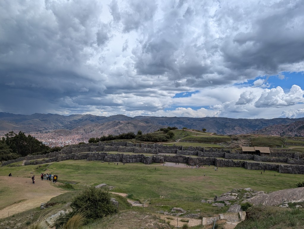
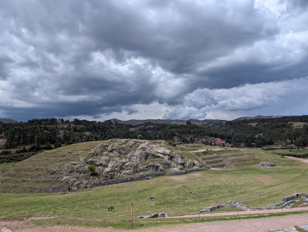
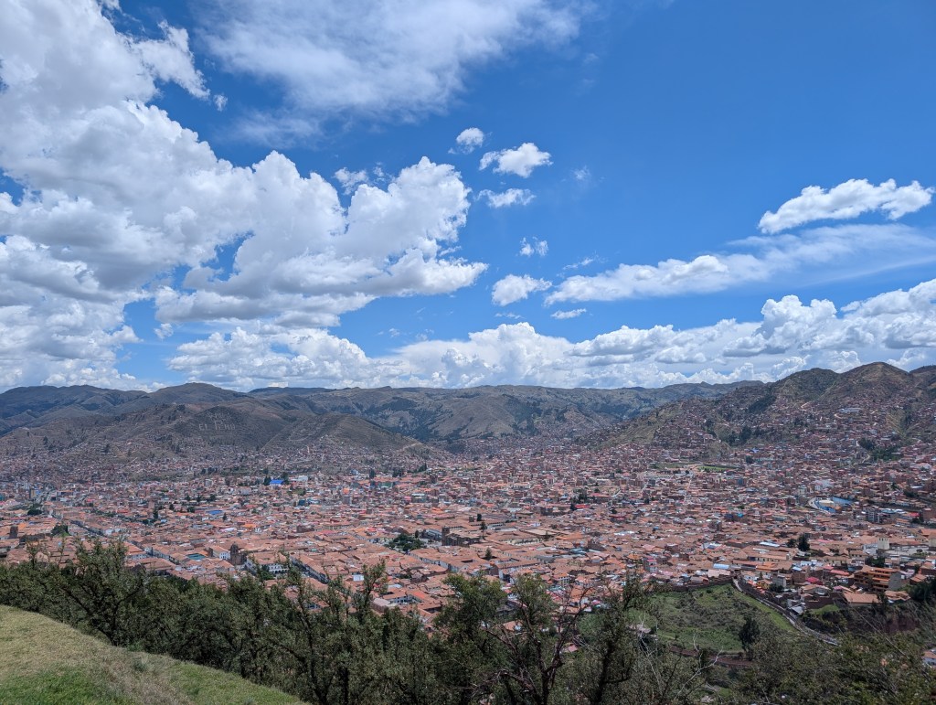
Compared to the relative flatness of Lima, Cusco is incredibly hilly; going from our hotel to the main square was a calf workout! Nested in a Andean valley, guidebooks show that Cusco was designed to look like a puma from above; to the Incans, the puma represented the earthly world of living humans, and symbolized power and strength (the condor represented the upper realm of the gods, and the serpent represented the world of the dead). Hidden in the “head” of the puma are the ruins of Saqsaywaman, an ancient Incan citadel in the mountainside; while its original purposes are unknown, it is used today to celebrate the winter solstice festival every June and provides the best views of the town. The large, outer stone walls shield an inner parade ground, which in turn surrounds a small hillock with rocky outcroppings. Largely untouched by the massive crowds we’d see in the rest of Cusco’s offerings, these ruins were a breath of fresh air, a chance to have deep reflections about the trip, and pose for silly pictures.
Machu Picchu:
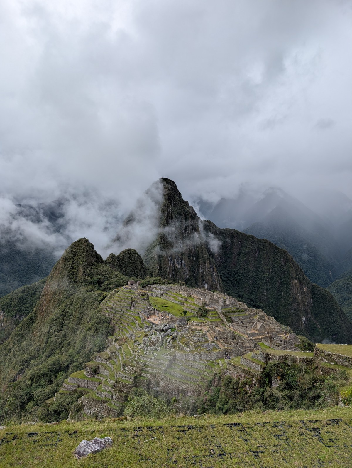
Machu Picchu absolutely lives up to all its hype.
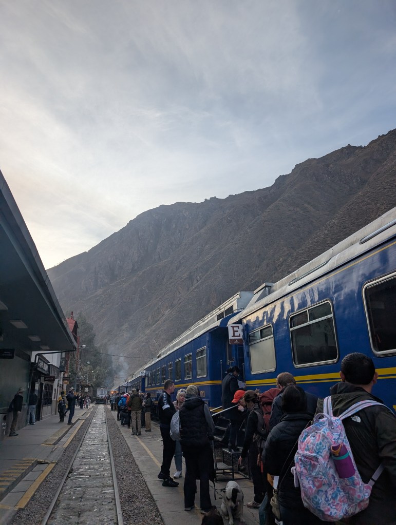
We began our journey to Machu Picchu at 430am on an old-school diesel train (score!) from the town of Ollyantaytambo, and spent an hour and a half snaking through Andean valleys, following the Urumbaba river. Upon reaching the town of Agues Calientes (literally “Hot Springs”), it’s a mad dash to get on the bus that takes you up the mountain. The bus ride is breathtaking – as you wind up the narrow road (at considerable speed), you are greeted by cloud forests; the shoulder season of November brought with it rain and mist that greatly complimented the abject aura and magnificence of dense trees on a massive mountainside. All this, however, was not enough to settle our nerves. If you’re more than 30 minutes late to your timed entry pass, you’re not let in. Thanks to our intrepid bus driver, we were only 29 minutes late and narrowly avoided heartbreak.
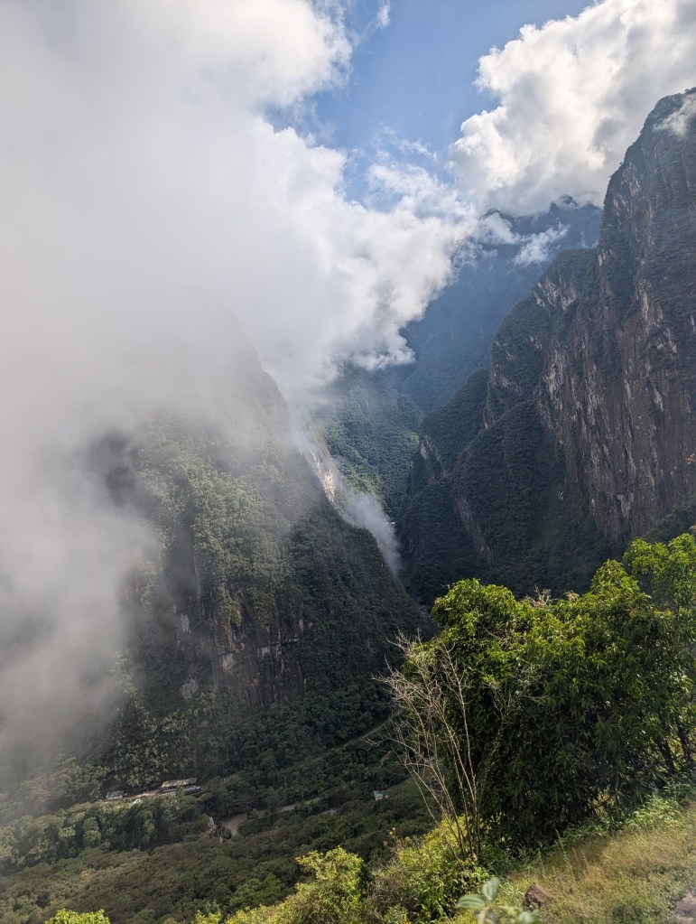
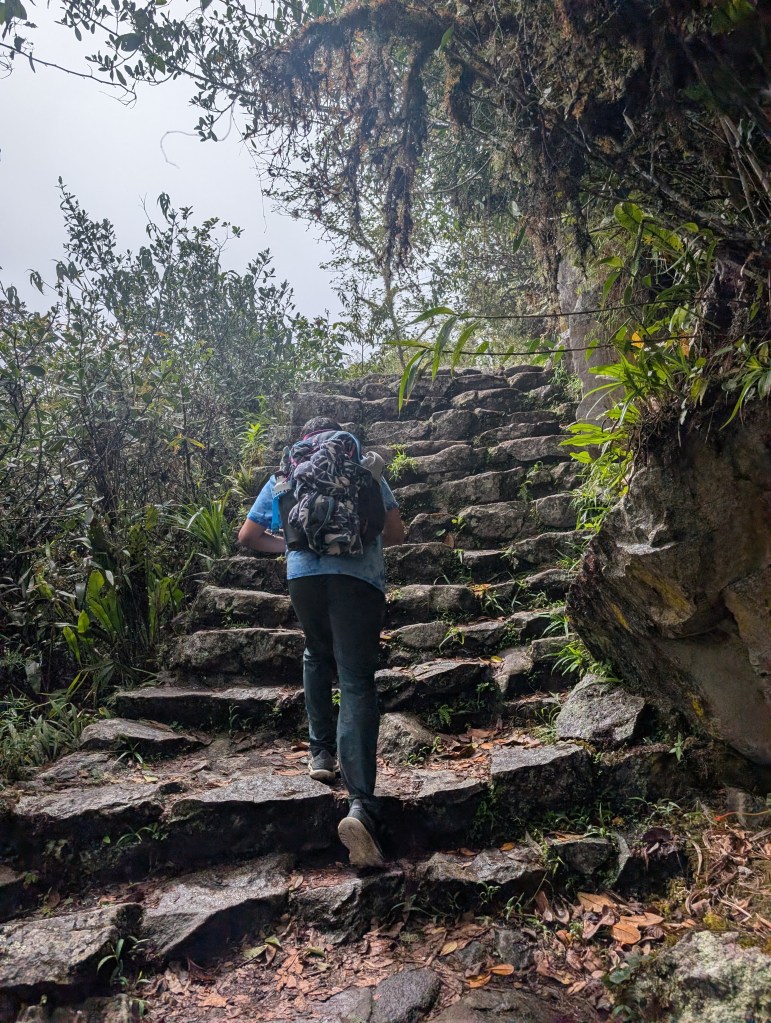
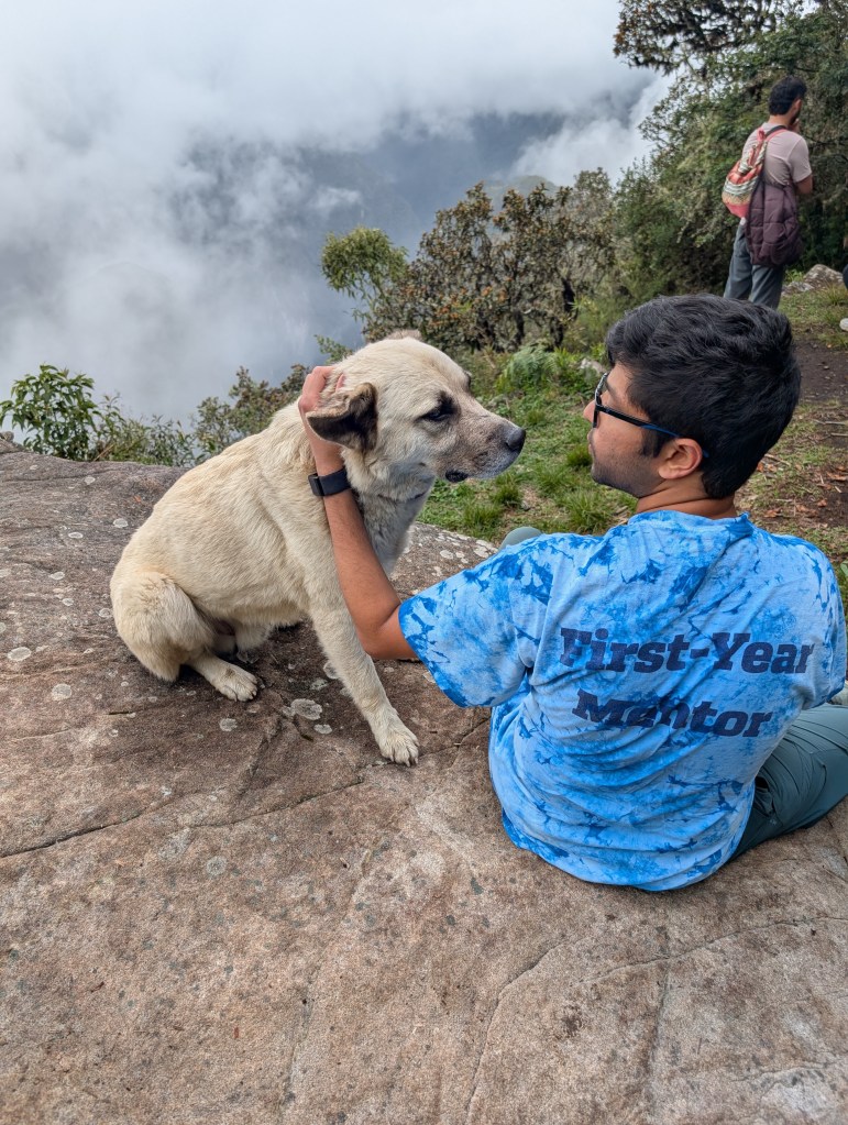
Our first route was our grandest endeavor of the trip – climbing the iconic Machu Picchu Mountain. Sitting at 3082m, it’s the highest peak in the sanctuary, and promised sweeping views of the site and the surrounding valley. It’s also relentless – in less than 2km, you gain over 2000ft, climbing incredibly high Incan steps; for a population with an average height of 5’3”, they sure loved massive stone steps half their size! As we made slow but steady progress, a dejecting fact became clear: the mist that we had gawked at during the bus ride was intensifying, and there was a very real chance that we wouldn’t see anything at the top. The rain, in increasing vigor, dashed our hopes even further. All that kept me going was a friendly local – a dog that I named Pablo, who, in exchange for the biscuits in my back pocket, hiked 2 steps ahead and willed me to carry on.
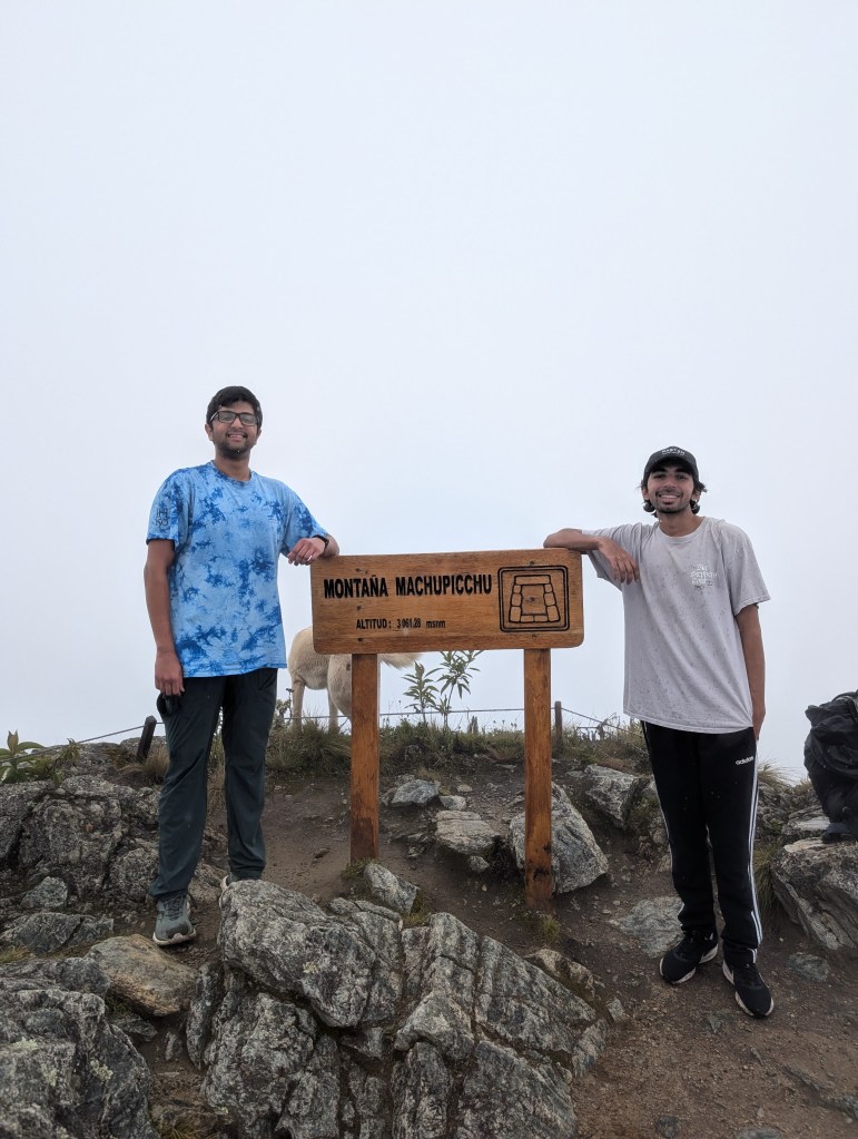
While we saw absolutely nothing while huddling from the cold at the top, the mist cleared up as we walked down. Twice it baited us into walking back to the peak, in the hopes that our exercise was not in vain; twice we were made fools, and my calves screamed in pain. But it was all worth it to see the sprawling citadel – situated in between two mountains (we were on one of them!), the tiered ruins were just a speck amongst the lush green valley; our fellow tourists were even smaller, vibrant dots moving around the map. At that moment, there were no travelers around us. It was just us and a Wonder of the World. The human experience does not get any better than that.
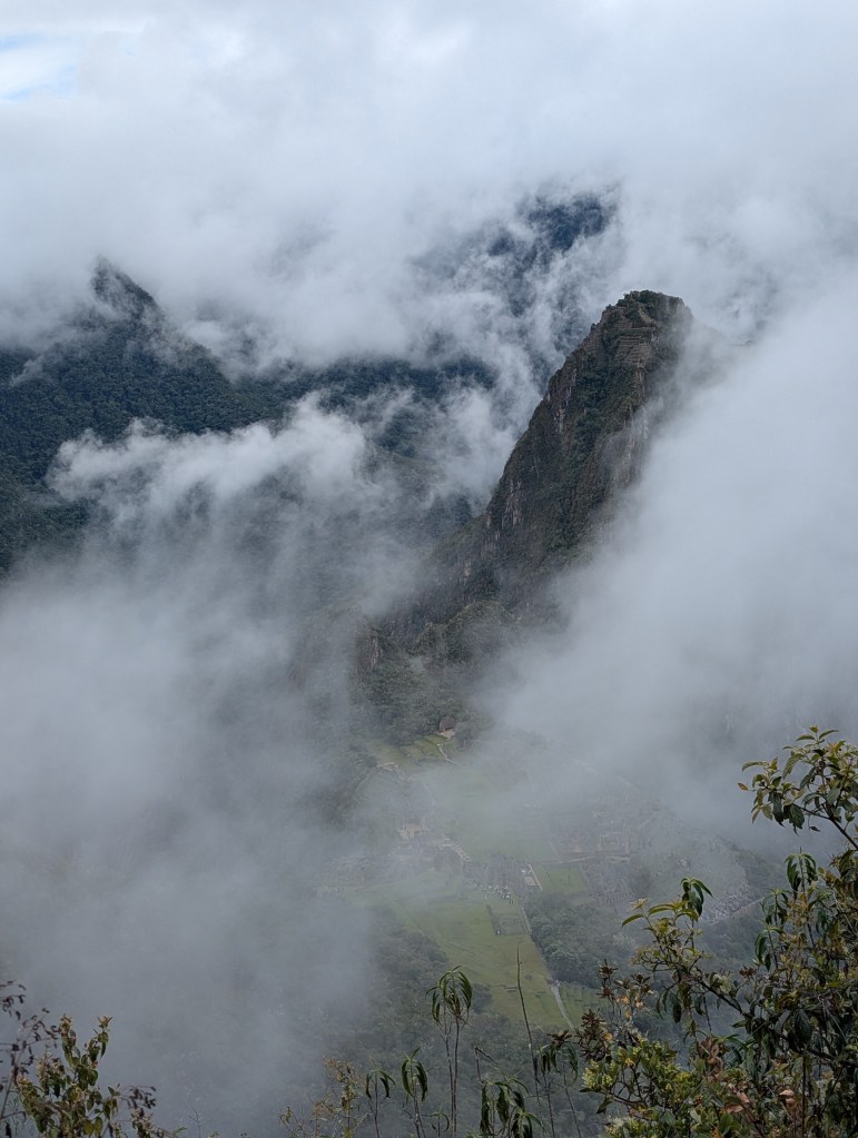
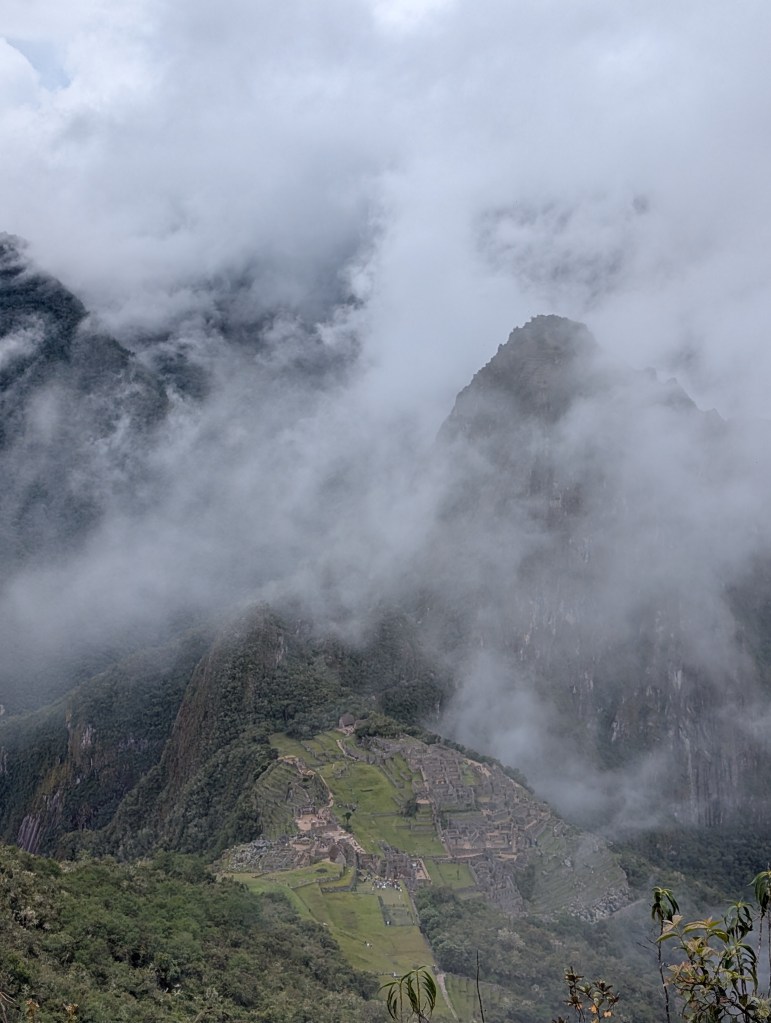
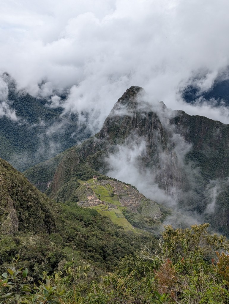
Not a lot is known about this site; since the Incans didn’t keep a written record, most of the stories one hears are lore or just wishful thinking. The best theory is that this was a vacation home for the Incan elite – a literal “hill station” that they created out of nowhere to retreat to. When looking at the ruins, one needs to constantly contextualise what they are looking at; massive pieces of rock, transported under human labor, were carried up a mountain; this rock was placed in a specific geometrical pattern to withstand the frequent earthquakes experienced in the region; the ruins spill into the mountainside as labourers painstakingly cut out terrace farms for an outside chance that they could grow anything at this altitude. I couldn’t even begin to imagine what it was like.
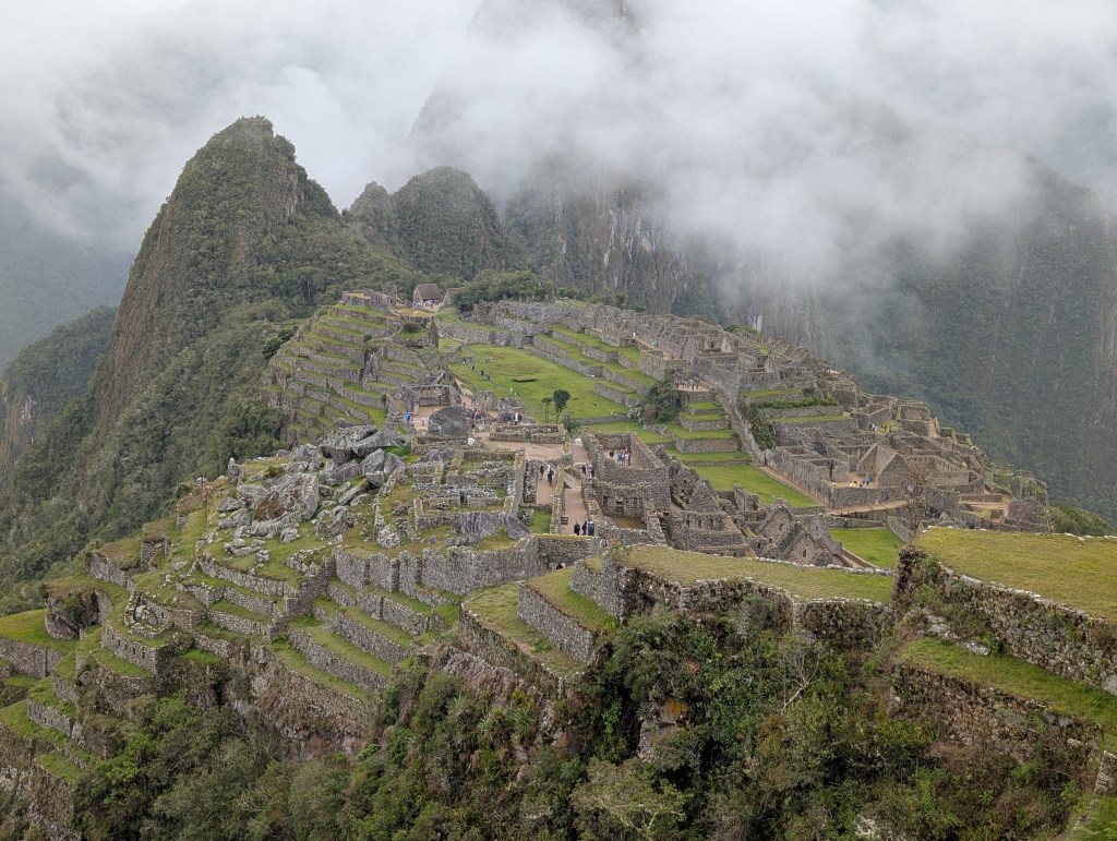
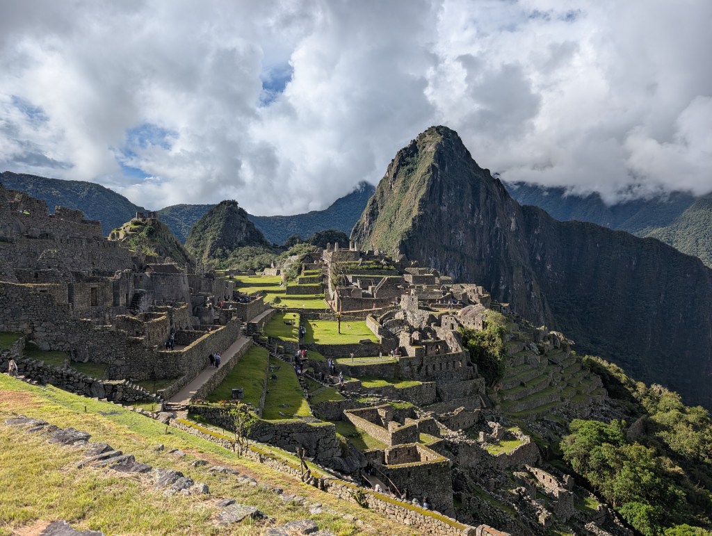
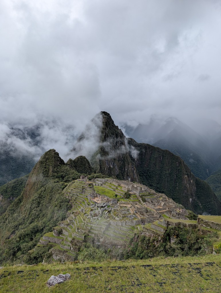
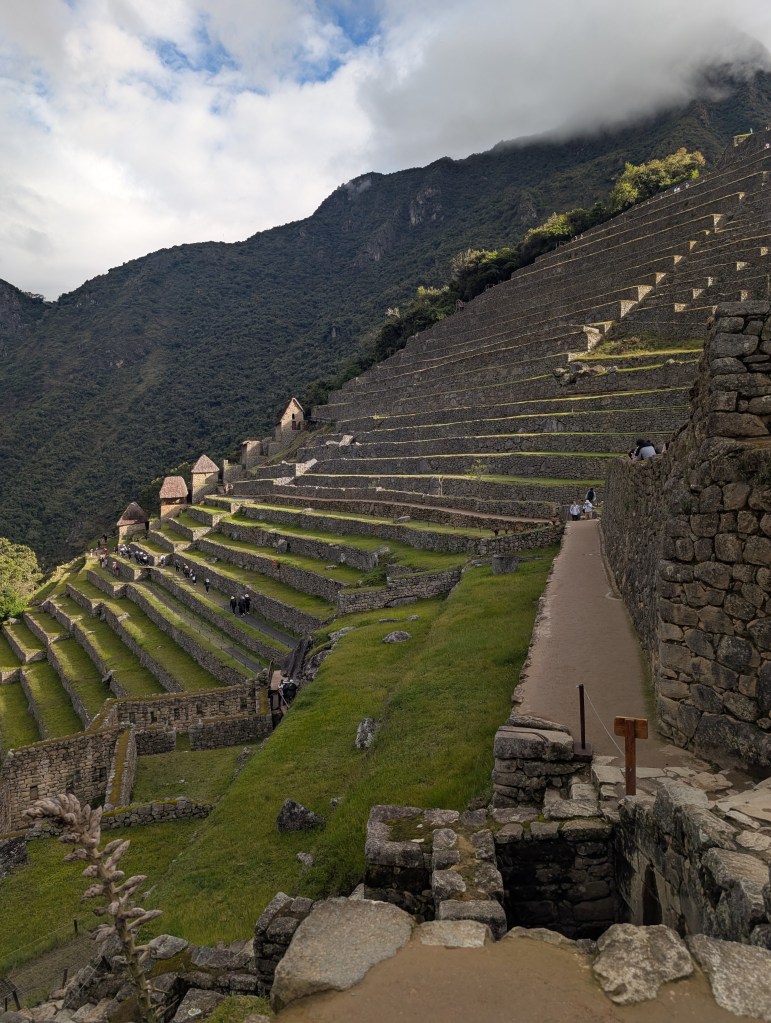
For further context, we paid through the nose for this excursion. Despite being eligible for student rates for entry to the site (about a third of the normal price), we each still spent about $270 for admission, the train, the bus and a guide. While we could technically do without the latter three (i.e. take a much longer bus to Aguas Calientes, walk up 2000 Incan steps for 2 hours to the site, Wikipedia all the information or find a self-guided walking tour), the trip would no longer be complete without its ancillaries. Despite these costs, over-tourism is a real problem for Machu Picchu; the ground up there is literally sinking under the constant weight of global tourists. Despite tourist-limits being placed by the government (after years of cash grabbing), the site is still crumbling. Some experts want to close the site. While I’m all for preservation, it would be unfair. Machu Picchu is an example of human ingenuity; it’s a testament to curiosity and drive, and the human tendency to create. It would be a shame to lose this reminder, at a time when we question the need for humans entirely.
Vinicunca:
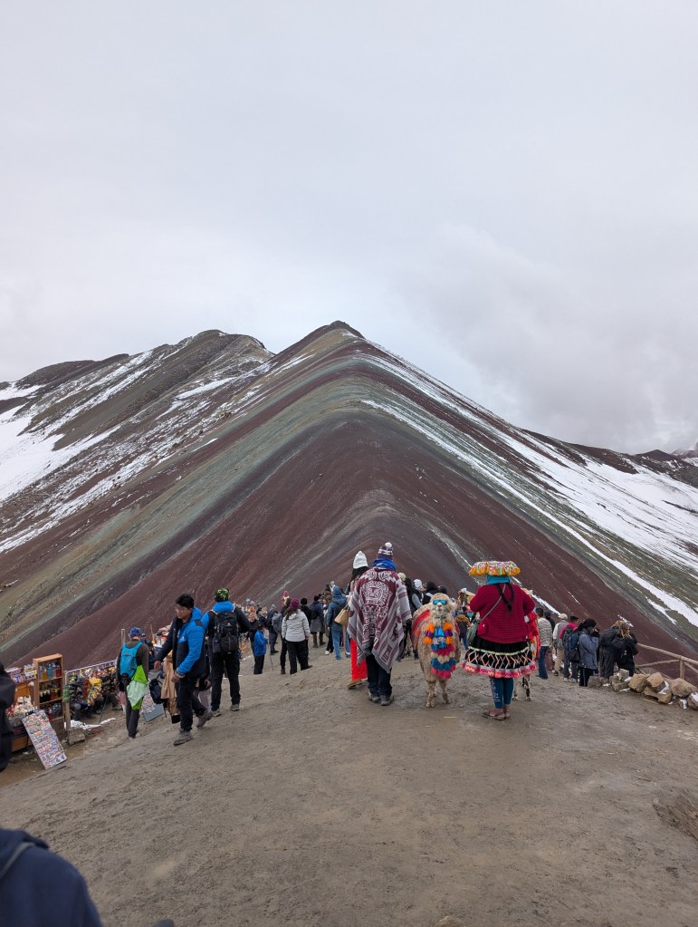
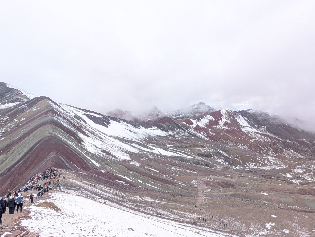
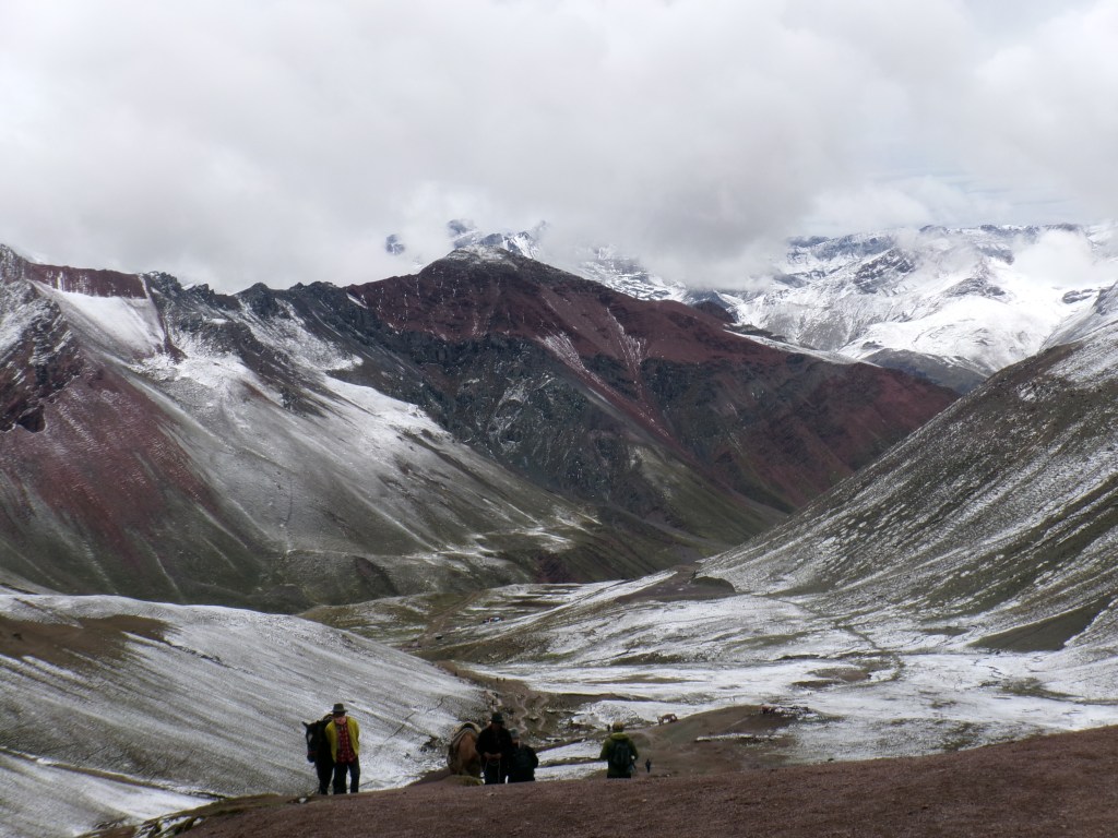
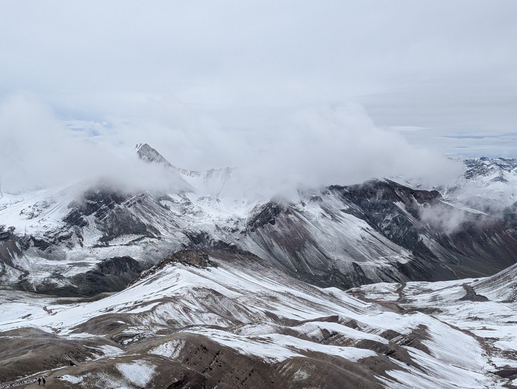
Vinicunca, or “Rainbow Mountain”, as the name suggests, is an iron-oxidized mountain at over 5000m above sea level. Despite requiring a 4am start and a 4-hour bus ride, Vinicunca turned out to be the most surprising and striking feature we saw on our trip.
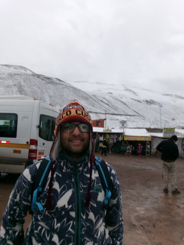
We landed in its valley, already having climbed up to 4500m, and were greeted by snowfall, a stark contrast to the cloudforests we saw before. The unexpected cold facilitated the purchase of an emergency hat; from the line outside the shops, it looked as if most travelers had underestimated the temperature, and the locals greatly benefited from our miscalculations. While the climb up to the mountain was gradual, the high elevation, cold, and lack of sleep necessitated a snail-like pace and frequent stops. A few of our group pulled the plug on the hike and paid exorbitant amounts for horse transport, necessitating a snort and grunt from me as I was frequently passed by the equestrians.
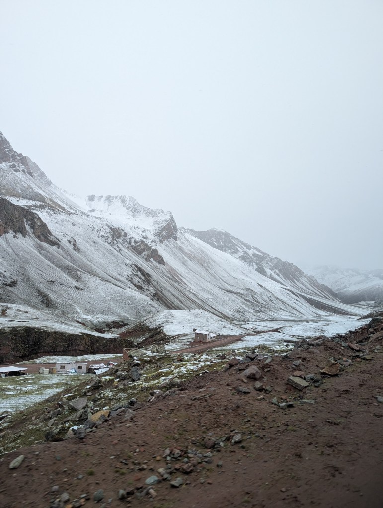
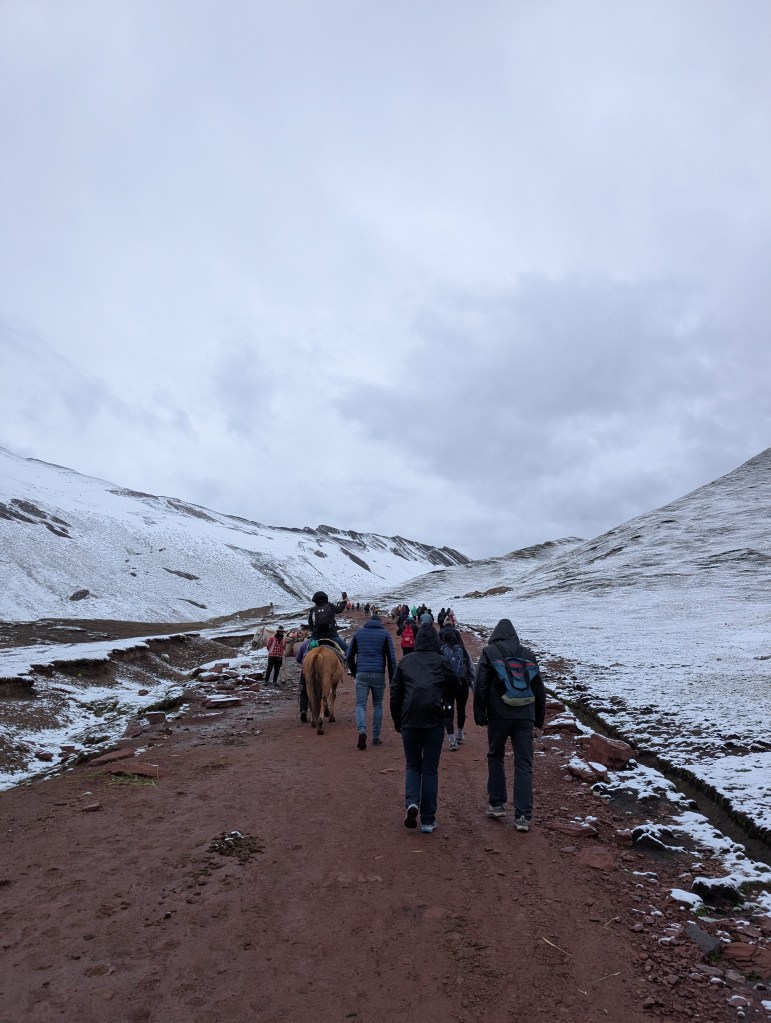
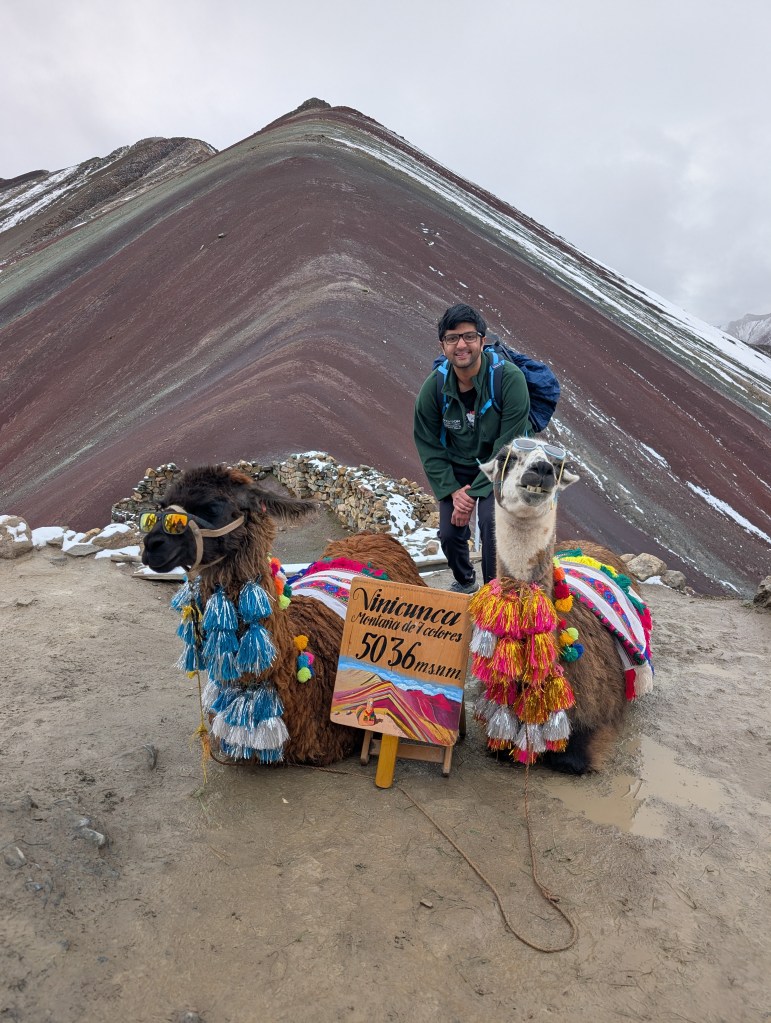
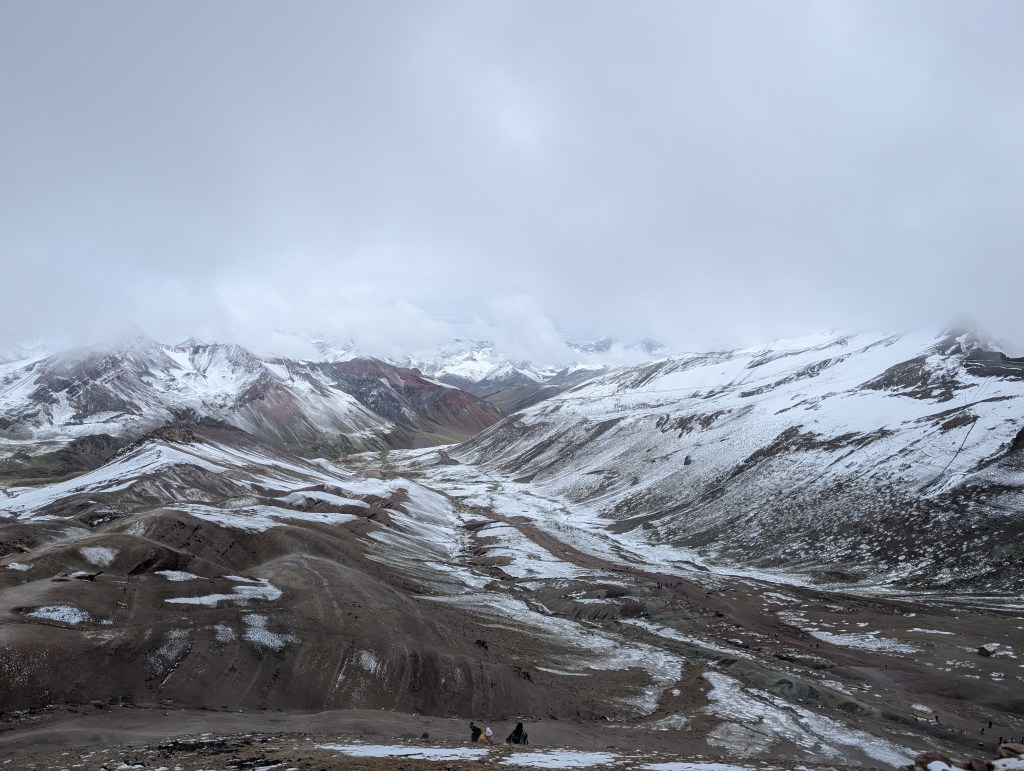
Don’t let this dramatization fool you – the view from the top was well worth the physical price we paid. Vinicunca was less bright on account of the snow, but breathtaking nonetheless; the mountain changed colors in regular banded intervals, dominated by the red soil that seeped into the valley. What surrounded it though was even better: we were enveloped by snow-laden mountains, and multi-colored, expansive, winding valleys; the whiteness of the fresh snow was complemented by the clouds that passed through us; and best of all, the novelty, garment-laden, “sexy” llamas that we could get our photos clicked with.
This trip ended up being a year and a half in the making, and, despite many self-imposed logistical setbacks, worked out in the best way possible (and under budget!). I will never forget the mist clearing out over Machu Picchu; but then again, I will also never forget accidently ordering a coca sour at 11am, assuming it was a simple coca tea drink, and accidently day-drinking on vacation (which I have heard is the standard for most holiday).
 Gravityfalls